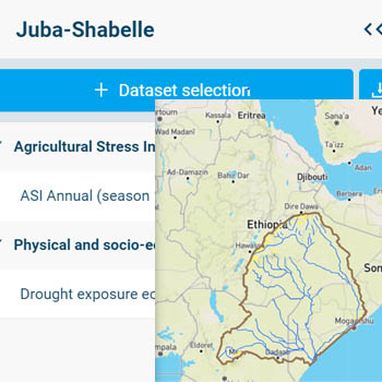
Water Tool: Juba-Shabelle Basin
The portal was developed by UNEP-DHI as part of the joint project "Support to Sustainable Development of the Daua-Jubba-Shabelle Basins" between UNEP and the Governments of Ethiopia and Kenya, funded by the European Union Emergency Trust for Africa.
It covers the basin areas of the Dawa, Genale, Lag Dera, Juba and Shabelle transboundary rivers with state-of-the-art remote sensing data and information, tools and downloading abilities; to strengthen the basis for informed water resources, flood and drought management action. Also, to enable the stakeholders to use satellite data to support the existing ground station data in their field of activity, from transboundary water management to climate change adaptation measures.